

V&G - Geospatial Information System software
V-G - Model GT Map Basic - Geospatial Information Software
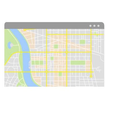
Geospatial information solution supporting address-based administrative work Introducing GT Map Basic.
V-G - Model GT Map Standard - Geospatial Information Software
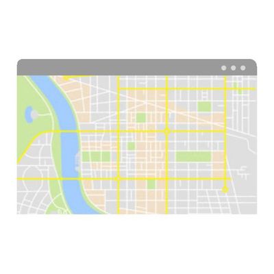
Geospatial information solution to manage facilities such as roads, water supply, and sewage Introducing GT Map Standard.
V-G - Model GT Map Extension - Geospatial Information Software
Geospatial information solution that provides business functions of public institutions Introducing GT Map Extension.
V-G - Model GT Map - Geospatial Information Desktop Software
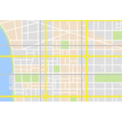
Desktop software for editing and analysis of spatial information Introducing GT Map Desktop.

V-G - Model GT Map - Geospatial Information Mobile Software
Mobile software to support field work. Introducing GT Map Mobile.
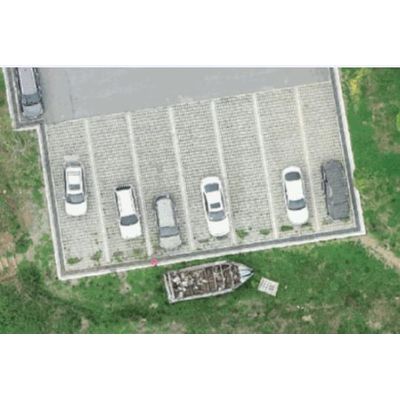
V-G - Model GT Map Drone - Geospatial Information Software
Easily manages the results produced by drones which is based on open source platform. Introducing the GT Map Drone.
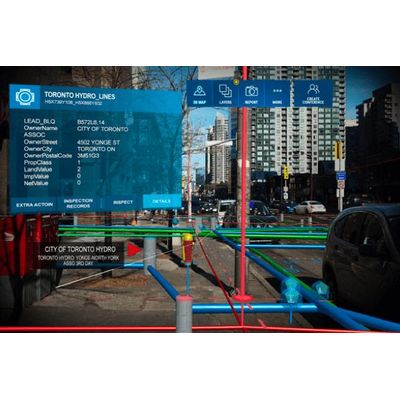
V-G - Model GT Map AR/VR - Remote Collaboration Support Software
Remote collaboration support system to manage 5G-based underground facilities. Introducing GT Map AR/VR.
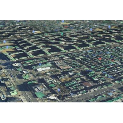
V-G - Model GT Map 3D - Geospatial Information Software
Digital twin that confirms the real world as a system. Introducing GT Map 3D.