

- Home
- Companies
- V&G - Geospatial Information System
- Software
- V-G - Version GT Map 3D - Geospatial ...
V-G - Version GT Map 3D -Geospatial Information Software
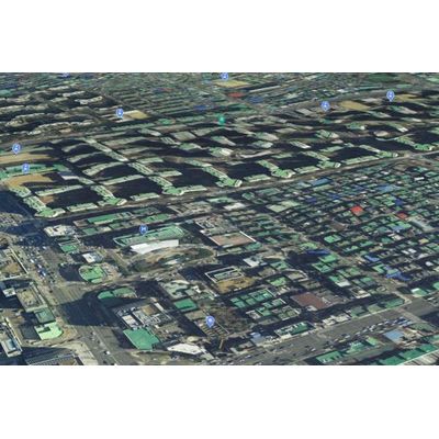
Digital twin that confirms the real world as a system. Introducing GT Map 3D.
Facility inquiry
It is expressed almost like reality on to various types of facilities.
The facilities are expressed almost identically to reality using symbols of various types prepared in advance. By expressing the location of the facility based on the topography, it is possible to work without going to the site.
Improved performance
Process lot of data and quickly look up on the screen.
Using the technology developed in-house, data is retrieved from the screen faster than other companies` solutions. Even if you move the screen, there is no interruption in loading data, so you can proceed smoothly.
Analysis/Simulation
Analyze and predict possible situations in the real world.
Using 3D data, it provides analysis and prediction functions that can be used in various fields such as urban planning and environment. In addition to the right of sunlight, the right of view, and the right of visibility, functions such as flood damage, wind path, and noise are included.