

- Home
- Companies
- Halltech Environmental and Aquatic ...
- Software
- Halltech - Version PC-Mapper 09 - ...
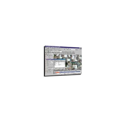
Halltech - Version PC-Mapper 09 -Powerful Field & Office Dual-Operation
The powerful Field & Office dual-operation. GPS, GIS, Survey, Contour, Volume, Coordinate Geometry CAD software integrated into one package! Data-correction, Navigation, Stakeout.
Convenience and Power
PC-Mapper is designed for Windows XP/Vista, supporting full 32-bit color and multi-media using microsofts OLE. Run multiple jobs and functions on one computer. Use the same pen-based or notebook computer to meet all your Field & Office needs.
GPS/GIS data collection
Collect features / attributes / values with maps and aerial photos in the background.
High precision applications
Use with GPS to generate accurate Contour Maps and compute Cut and Fill Volumes in the field; Point, Offset and Slope Stakeout of road designs.
Interactive navigation
Track your real-time position in relation to Maps and Geo referenced imagery. Navigate along a predefined route or select any destination on-the-fly.
Easy to learn and use
The same software is used in the Field and in the Office. Eliminate wasted time transferring data between Field System and Office Systems.
Supported Import/Export Formats
- RINEX format
- Intergraph DGN format
- AutoCAD DXF format
- ESRI ARC/INFO format
- ASCII format
- EPA MAD format
- TIF, JPG, BMP format
- Geo TIFF format
- Microsoft OLE and ODBC
Field inspection with digital camera
Mark digital images with features / attributes / values / GPS positions. Integrate digital image with field inspection information. This unique feature adds a new dimension to traffic sign, hydrant and pavement inspection.
- Real-time navigation and correction – Support L1 (RTCM-104), L1/L2 real-time kinematic (RTK), and On0the-fly (OTF) initialization.
- Feature / attributes / value mapping and data collection
- Point / offset / slope stakeout. Traverse & offset to continue mapping when GPS signals are unavailable
- Link digital photography and video to feature for inspection
- Real-time coordinate system conversion – LLA, NEZ, SPC, UTM and user-defined coordinate Geometry CAD, contour / volume functions on demand.
- Full range of single & dual frequency differential correction options: C/A code, Static phase.
- Point spread analysis. Statistical quality control.
- User-friendly image georeferencing / rotation / translation, average, join, split, and other utilities.
- Supports ODBC for import / export to dBase, Excel, Access
- Heads-up digitizing of new features with simple mouse clicks and professional map plotting.
- Search & classify data, calculate lengths & areas with a mouse click, automatically label based on attributes / values
Impressive visual tools enhance your data with raster images (TIF, JPG, BMP) and multi-media objects.