

Hélicéo - Version HASK -Geo Processor Accuracy Software for Kinematic
Thanks to a research collaboration with ESGT School (Superior School of Surveyors and Topographers) Hélicéo developed HASK GeoProcessor. Compatible with all the products, this unique tool allows you to simply georeferencing and provide high accuracy data. This program is part of the HASK Suite software composed of HASK GeoProcessor, HASK BoxTools and HASK VideoWalker.
DroneBox systems embedded a GNSS receiver which measure the position of the vector during the survey. With this instruments, it’s possible to use direct georeferencing methods (RTK, NRTK) and delete the ground control points (GCP).
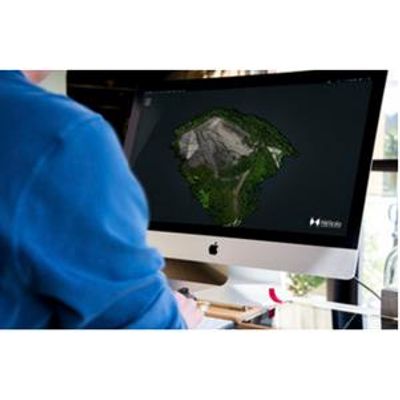
HASK GeoProcessor allows to georeference directly the different kind of data acquired by the sensors embedded on Hélicéo’s products. (Images, bathymetry, etc…).
High accuracy: Thanks to a unique algorithm, HASK GeoProcessor provide high accuracy data georeferencing.
Universal software: HASK GeoProcessor is designed to work with all Hélicéo’s products: all vectors and both DroneBox Slim and RTK.
Ergonomics: A simple interface, fast and easy to use.