

Hélicéo software
Software and Web Solutions
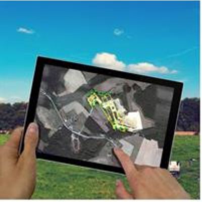
FlyPlan - Flight and Bathymetric Mission Planner Software
FlyPlan is a unique mission planner software, the perfect tool for planning your drone missions (aerial and bathymetric).
This software allows you to prepare, plan and monitor your various missions. Flyplan mission planner is part of the professional software suite for drone photogrammetry proposed by Hélicéo.

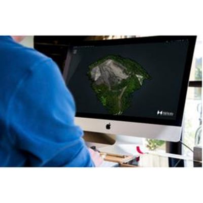
Hélicéo - Point Cloud Analysis And Processing Software
Point cloud analysis and processing software Trimble Real Works is for 3D scanners users. Indeed, this automated tool allows to import integrated data from 3D laser scanning instruments such as LiDAR. This complete solution makes possible the realization of any project. Today, it offers one of the largest selections of point-cloud processing tools with specific workflows such as consolidation, surface creation and comparison, and modeling. With this powerful software, you can process, analyze and create high quality deliverables, as well as import point clouds from any source. In addition, Trimble Real Works is very easy to use.
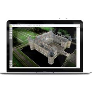
Hélicéo - Model Pix4D - Professional Photogrammetry Software
The Pix4D professional photogrammetry software is currently the most used on the drone mapping market. It makes it possible to exploit hundreds of images to obtain very precise and georeferenced point cloud, orthophotographies or textured 3D models.
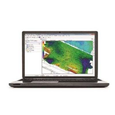
Hélicéo - Model Hypack - Hydrographic Software
HYPACK is the most widely used hydrographic software in the world with nearly 10,000 users on 7 continents. It is currently the only one to offer lateral collection, mosaicing and targeting. With this intuitive and powerful tool, you can design your survey, collect hydrographic data, process and generate end products such as contours, tracking sheets, CAD views, cross sections or volume calculations.
Hélicéo - Model HASK - Geo Processor Accuracy Software for Kinematic
Thanks to a research collaboration with ESGT School (Superior School of Surveyors and Topographers) Hélicéo developed HASK GeoProcessor. Compatible with all the products, this unique tool allows you to simply georeferencing and provide high accuracy data. This program is part of the HASK Suite software composed of HASK GeoProcessor, HASK BoxTools and HASK VideoWalker.