

- Home
- Companies
- CEE HydroSystems
- Software
- CEE - Version HYPACK - Hydrographic ...
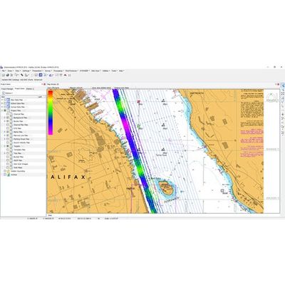
CEE - Version HYPACK -Hydrographic Survey Acquisition and Processing Software
HYPACK software was developed by Coastal Oceanographics, subsequently renamed HYPACK; now a Xylem brand, HYPACK is the most widely used hydrographic survey software package worldwide. With over 10,000 users undertaking shallow water single beam surveys, side scan search and recovery missions, sub bottom sediment profiling, advanced multibeam navigation surveys, or dredging surveys HYPACK software has the capabilities to manage the complete process from the survey to the finished product. Starting at data collection, close cooperation with equipment manufacturers generates specific equipment drivers that are available for the major types of equipment in use; a rigorous geodetic framework guarantees a precise representation of survey results in any coordinate system.
Technical support and training are key ingredients to the success of HYPACK; user training meetings are held regularly around the world and on-line and phone support is available for all registered users with an active maintenance plan. For single beam echo sounder and side scan surveys, several HYPACK products are available, each activated by a USB dongle containing a license file.
HYPACK® MAX:
Full software package offering survey planning through to final product, chart or TIN model generation.
HYPACK® LITE:
Survey planning and acquisition, data editing and XYZ export. For users who do not need final survey products generated in HYPACK®.
HYPACK® OFFICE:
Data editing and final product generation only.
HYPACK® SURVEY:
Survey planning and acquisition only, without data editing and final product generation.