
GAF AG
LaFIS Software
FromGAF AG
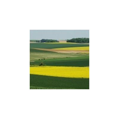
LaFIS® is part of the LaFIS® product family of GIS software, managing the geographic application data for agricultural subsidies. The software is specifically dedicated to officials and covers all the responsible tasks to clarify, rule and check the farmers‘ declarations with special regard to the subsidy management system. Data of individual farms are analysed by utilizing the land parcel reference system, farmers` sketches, remote sensing images (satellite and aerial photos) and additional layers. Since the software links the application data to agricultural parcel boundary information, any farm can be checked for its exact extent, current cultivation type, landscape elements and applied environmental measures.
Most popular related searches
remote sensing image
EC regulations
GIS software
environmental monitoring
remote sensing
remote sensing satellite
geographic data
clarifier system
satellite image
- Tailored for the workflows to clarify, rule and check farmers` declarations
- In compliance with the current EC-regulations concerning the obligation towards area-wide usage of GIS-technology in the member states
- Full GIS functionality
- Compatibility with all other LaFIS® products such as LaFIS®-LFK and LaFIS®-VOK
- supporting two-way data exchange
- Offline mode, supporting check out and check in processes
- Integration with various alphanumeric IACS (Integrated Administration and Control System)