
- Home
- Companies
- NV5 Geospatial Solutions, Inc.
- Software
- NV5 ENVI - Deep Learning Software
NV5 ENVI - Deep Learning Software
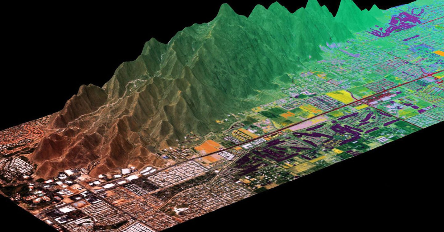
NV5 Geospatial has developed commercial off-the-shelf deep learning technology that is specifically designed to work with remotely sensed imagery to solve geospatial problems. The ENVI Deep Learning module removes the barriers to performing deep learning with geospatial data and is currently being used to solve problems in defense, disaster response, urban development, transportation and other industries.
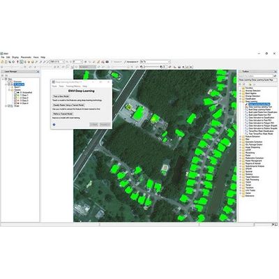
Not everyone is a deep learning expert and ENVI Deep Learning software was developed with this in mind. The module has intuitive tools and workflows that don’t require programming and enable users to easily label data and generate models with the click of a button.
Additionally, it is simple for seasoned imagery experts to fuse information layers such as spectral indices, elevation data or data transforms to create more robust classifiers.
ENVI is the leading image analysis software on the market and its science-based analytics are accurate and reliable for extracting meaningful information from all types of geospatial imagery and data. ENVI’s preprocessing tools such as calibration, atmospheric correction and color space transforms create consistent input data for deep learning models. With geospatial deep learning technology built on TensorFlow, a leading open-source library, you can create reliable models for image classification.