
- Home
- Companies
- Bentley Systems, Incorporated
- Software
- OpenCities Planner - City-Scale Digital ...

OpenCities Planner - City-Scale Digital Twin Planning and Visualization Software
OpenCities Planner is a cloud-based service that enables visualization of 2D, 3D, and GIS data in a 3D world. You can design, visualize, and communicate projects from large-scale city developments to detailed architectural designs. All you need is a web browser as OpenCities Planner is completely web based and plug-in free.
OpenCities Planner capabilities combined with Bentley’s reality modeling offerings make city-scale digital twins broadly accessible. Synchronizing reality and ‘virtuality,’ OpenCities Planner offers the perfect web solution to enable every city government in going digital.
Scalable for all organization types from individual planners, architects, GIS engineers to city governments, and larger organizations.
Visualize Everything
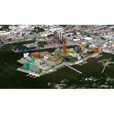
Visualize large-scale projects spanning entire cities down to street level when streaming reality meshes, terrain models, and semantic 3D city models such as CityGML.
Sketch, Analyze, and Export from 3D Cities
Create, visualize, and analyze planning options using 3D modeling and shadow analysis by dragging an object to the map from the 3D library and exporting in 3D to continue detailed design in a third-party BIM or CAD application.
Import CAD, GIS, and Web Services
Import detailed 3D models and place them in the 3D world by adding images, vector data, and documents to communicate your project, and connect with WMS to add GIS layers to the presentation.
Share Projects and Crowdsource Ideas
Invite team members or publish a direct link for public access with just a few clicks by controlling content access based on user roles.
