

RMSI Private Limited
- Home
- Companies
- RMSI Private Limited
- Software
- PIER - Profiler for Insurance Exposure ...
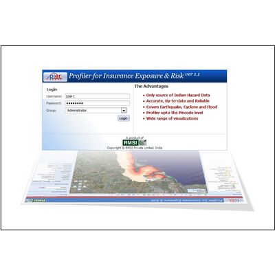
PIER - Profiler for Insurance Exposure & Risk Software
PIER™ is an exposure and risk tracking solution that utilizes geospatial technologies to improve identification, assessment, pricing and monitoring of risk across various lines of business. PIER™ provides business users with an integrated view of exposure, hazard and business data at pincode resolution for the entire country. PIER™ unlocks valuable information hidden in your seemingly disparate data by analyzing geographic/ location linkages. The pioneering solution provides key insights and actionable information for decision support at various stages of the risk management life cycle: Underwriting, Hazard Assessment, Accumulation Monitoring, NatCat Scenario Modeling.
Most popular related searches
hazardous zone
geospatial technology
hazard assessment
integrity monitoring
risk management
hazard monitoring
life cycle assessment
life cycle management
earthquake
exposure monitoring
- Asia wide hazard zones for flood, earthquake and cyclone
- Comprehensive risk profile report
- User defined zonation capability for accumulation monitoring
- Exposure upload at various resolutions across Asia
- Asia wide exposure accumulation thresholds by hazard zones
- Accumulation monitoring across any geographic boundaries
- including user-defined blocks
- NATCAT scenario modeling
- Visualization of FAC risk distribution
- Easy integration with existing BI/DW solutions