

Integrated Geo Instruments & Services Private Limited
- Home
- Companies
- Integrated Geo Instruments & Services ...
- Software
- Aplitop - Tcp GPS Processing Software
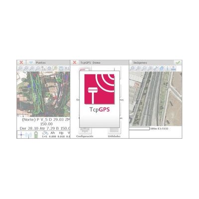
Aplitop - Tcp GPS Processing Software
This application for field work allows the user to perform surveys and set out using a wide range of GNSS receivers, integrated into the data collector or connected via Bluetooth. The program has multiple options for surveying and stake out plots, terrains and linear works. You can use ESRI or Apple base maps as well as orthoimages, cartography and web map services.
Most popular related searches
- Also Provides: Multi Level Marketing Software
- Type: Online/Cloud-based
- Operating System: For Windows
- Brand: Aplitop
- Language Support: English
- Architecture: 64 Bit
- Deployment: On Server
- Database: SQL
- Programming Language: Java
- Free Required RAM: 1 GB