
TerraMath FaultTrace - Version WinGeol Based -Trace Geological Faults Software
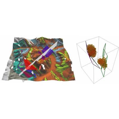
FaultTrace is used to trace geological faults or the outcropping of geological strata on the surface of the earth. In this way 3D information is gathered about these structures. This knowledge is mandatory for building accurate models of the subsurface as required in many applications (geothermal, mining, oil exploration, academic studies and others). We developed a Google Earth based version as well but as the user has limited control on the data used - the elevation data Google is using having much lower spatial resolution than the satellite images draped on it - we do not recommend this version for serious work as errors occur frequently. Nevertheless this tool might be ok for the one looking for a fast overview and is aware of the limitations.