

- Home
- Companies
- V&G - Geospatial Information System
- Software
- V-G - Version GT Map Drone - Geospatial ...
V-G - Version GT Map Drone -Geospatial Information Software
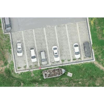
Easily manages the results produced by drones which is based on open source platform. Introducing the GT Map Drone.
Achievement (result and file) data management
Anyone can not only easily access the results and file but also organize and manage.
Easily register and edit achievements obtained through drone shooting by group. Registered achievements can be searched by various conditions and added and nested directly from the map.
Various data
Available to Registering various types of achievements
By registering files such as DSM, DTM, point cloud, panorama, and video, including orthographic images, in one piece of information, you can view and analyze them from various angles.
Service performance
Delivered at high speed as a high-resolution image
When you upload a high-resolution, large-capacity drone video, it automatically creates a tile image. The created tile image is provided as a web service, enabling quick image inquiry.