

- Home
- Companies
- V&G - Geospatial Information System
- Software
- V-G - Version GT Map - Geospatial ...
V-G - Version GT Map -Geospatial Information Desktop Software
Desktop software for editing and analysis of spatial information Introducing GT Map Desktop.
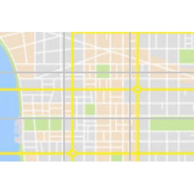
Fast map service
Publishing a fast web map service using function.
Provides the function to publish the currently viewed map screen to the GIS web service server. To provide a faster web map service, we save tile images in a file format called MB Tiles.
Data processing
Support various types of spatial information data.
In addition to supporting most RDBMSs such as Oracle, PostGIS, and SQLite, it searches and processes vector data such as ArcGIS, GeoDB, Shape, DXF, and image data such as ECW, GeoTIFF, and JPEG2000.
Data editing/analysis
Provides Editing of vector and image data, and analysis capabilities.
It provides editing functions such as moving, cutting, and merging vector and image data containing spatial information. In addition, three-dimensional analysis of visible area and volume and simulation of specific situations are possible.