

Civica Infrastructure Inc. software
Civica - Model DataCurrent - Host and Analyze Flow Data
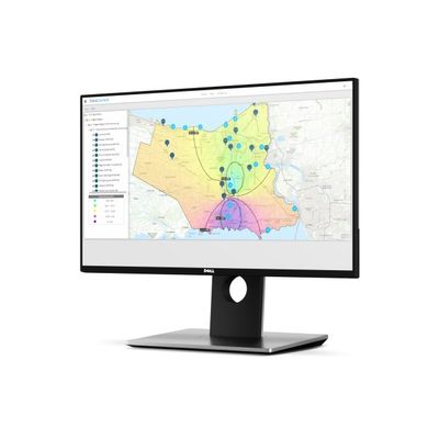
DataCurrent is a comprehensive, SaaS application designed to help identify, quantify, and address the challenges of Inflow and Infiltration (I/I). This easy to use, ESRI-based solution provides up-to-date analysis regarding the flow rates and capacities within your existing sanitary sewer network. Its 24/7, secured online access allows you to consolidate and analyze both historical and real-time sewer flow and rainfall data.
Storm Water Management Software
The Right Tool For Your Watershed Planning, Design, and Operational Management. Visual OTTHYMO (VO) is a hydrologic modelling software solution for single-event and continuous modelling. Low Impact Development (LIDs) technologies, Storm Water Management (SWM) facilities, wetlands, channels, and sewers can be planned, designed, and analyzed efficiently. VO is intuitive and provides results in less time.
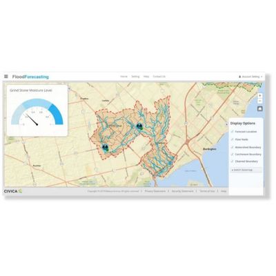
Flood Forecasting Module
Flooding potential is a function of climate and watershed conditions. Civica’s Flood Forecasting system uses spatial-enabled climate forecasts plus current, field-verified antecedent moisture conditions and other watershed data (hydraulics and vulnerable site characteristics) to issue real-time notices and warnings to the municipal managers responsible for responding to flood vulnerable sites. In an era of climate change and extreme weather events, Civica partners with municipal and rural watershed managers, through constant updates and access via mobile devices, to stay ahead of developing flood risks