

Esri
Refine by
Families
3 software found
Esri software
ArcGIS Solutions
ArcGIS for Aviation
ArcGIS for Aviation is part of the ArcGIS system to solve problems and gain efficiencies for civil, military, and commercial aeronautical agencies, airports, consultants, and related businesses. It enables organizations to manage aviation data, products, services, workflows, and quality. The system provides significant efficiencies for creating and maintaining aviation data according to industry standards to support chart production, airspace analysis, airport operations, and regulatory compliance.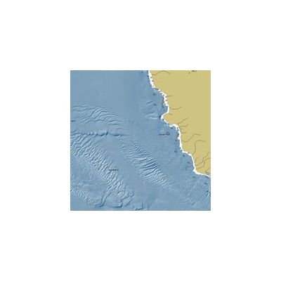
ArcGIS for Maritime
ArcGIS for Maritime is part of the ArcGIS system to solve problems and gain efficiencies for ocean, marine, hydrographic, and related business. It enables organizations to manage data, products, services, workflows, and quality. The system enables efficiency for interacting with large volumes of maritime related information, products, and integrated workflows to create data, charts, seafloor models, and conduct spatial analysis in compliance with industry and organizational standards and requirements.
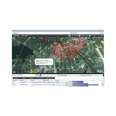
ArcGIS for Transportation Analytics
ArcGIS for Transportation Analytics helps you achieve optimal enterprise fleet operations. Create vehicle routes, manage complex schedules, and monitor progress throughout the day.