

GISCON Geoinformatik GmbH software
Other Software
ArcGIS - Geo-Data Manager (GDM) Software
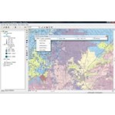
The management and manipulation of large spatial datasets requires a complex database structure. Datasets organized from different data sources in different formats and coordinate systems, should be integrated and presented to the user in a simple and clear manner. This is the main task of GISCON Geo-Data Manager (GDM) for ArcGIS.
DisAgg - Spatial Disaggregation Analyses Software
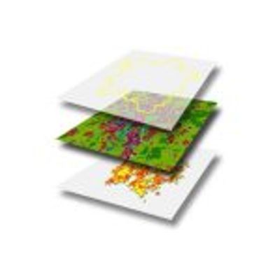
Spatial analyses in the fields of urban and regional planning, transport planning, environment, climate or geology often require high resolution socio-economic data. Such analyses work with raster data to calculate indicators such as exposure to air pollutants or to noise.
In many cases available socio-economic data do not have the necessary spatial resolution. Usually, data on population, employment or housing are available only for larger areas such as provinces, districts, municipalities or other statistical entities, i.e. units that might be too coarse to be used in such spatial models.
GISCON proBaum - Tree Control Software
proBaum is a modern control and management program for the implementation of tree and object controls, and for the acquisition, planning and execution of maintenance and “repair” orders for the trees.