Northwest Environmental Training Center (NWETC)
Refine by
Families
5 training found
Northwest Environmental Training Center (NWETC) training
Technical / Software
MTCA Spreadsheets Workshop
This course is intended for environmental professionals seeking an improved understanding of the 3- and 4-phase partitioning models specified under the Washington State Model Toxics Control Act (MTCA). Both models are prescribed in MTCA as predictive tools for deriving soil cleanup levels that are protective of groundwater. Participants will have their own computer workstation to apply their knowledge to case study data during numerous hands-on exercises. Washington State Department of Ecology recently updated two powerful Excel spreadsheets (MTCATPH11 and MTCASGL11) to assist with the complex model calculations. The instructor will lead participants through a number of hands-on exercises that demonstrate the appropriate use and capabilities of the spreadsheet models. The instructor will also discuss model theory, assumptions, limitations, and alternatives such as empirical demonstrations and leaching tests.ArcGIS 10: Geoprocessing-Advanced Techniques for Environmental Applications- Nov 16-18, 2015
This course is designed for intermediate to advanced GIS users to explore advanced ArcGIS techniques for geoprocessing. We will start with ArcToolbox, work into Model Builder, and then into Python scripting. It is expected that upon completion of this course each student will have an in depth understanding model builder and introduction into Python scripting in ArcGIS. After completing this course students will be able to: Automatically create an data management system for advanced geoprocessing in ArcGIS 10. Set geoprocessing environments for any component of the geoprocessing framework (i.e. ArcToolbox, ArcTools, Model Builder, ArcPy) Build simple and/or complex models in with the most current and advance techniques available in the ArcGIS 10 Model Builder software. Use Python scripting language to run ArcGIS geoprocessing workflows. Use Python scripting language to expand the functionality of the ArcGIS field calculator. Import Python scripts as Tools to be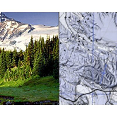
ArcGIS 10: An Introduction to Environmental Applications
This 3-day hands-on class introduces participants to the environmental applications of ESRI`s ArcGIS 10 software. The course will build upon a discussion of general concepts and vocabulary to form a comprehensive overview of ArcGIS 10’s functions and uses in the environmental field. Each participant will have their own computer workstation to create, edit, display and analyze real world environmental data during numerous hands-on exercises. On the third day, participants will have an opportunity to expand their skills by applying their knowledge to more complex and in-depth projects.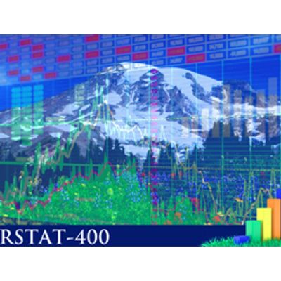
Visualizing and Analyzing Environmental Data with R
This course is designed for participants who wish to gain beginning to intermediate skills in using R for manipulating, visualizing and analyzing their environmental data. R is a comprehensive statistical programming language that is cooperatively developed on the Internet as an open source project. This freely available statistical package R is a powerful tool and is projected to become the most widely used statistical software.