

Weston Solutions, Inc software
Modeling

earthVision - Comprehensive Geospatial Modeling Package
earthVision is a comprehensive geospatial modeling package developed by Dynamic Graphics, Inc. for evaluating and visualizing the distribution of geologic units and chemical compounds in 3-D. It is a powerful tool for conveying complex hydrogeologic data to laypeople and decisionmakers.
RealFlow - Patented System Software
RealFlow is a patented system, created in conjunction with NASA by Summit Envirosolutions, Inc., that monitors operating parameters while continually collecting data that result in self-calibrating real-time computer models. Combining technology advancements in GIS, GPS, and remote sensing and computer hardware and software enables rapid development of computer models.
WESTON-Developed Technology
RespondFast - Information Technologies
WESTON has developed RespondFastSM Information Technologies to enhance and expedite the award-winning services WESTON provides for our strategic clients. Whether you need to collect samples in the field, monitor ambient air, or respond quickly to an environmental disaster, WESTON’s RespondFastSM systems caters to your needs better, faster, and cheaper.
AuditFast - Compliance System Software
AuditFast Compliance System is a paperless, Web-accessible system, developed by WESTON, to provide a fast, accurate solution for documenting, tracking, reporting, and resolving OSHA, EH&S, and other audit program findings. By using electronic data from beginning to end, AuditFast enables audits to be completed far ahead of schedule and delivers a high-quality results package. WESTON estimates a savings of 25% to 50% by using AuditFast in comparison to traditional and paper-based methods.
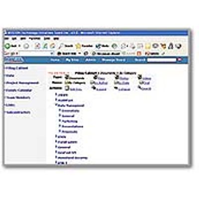
TeamLink - Web-Based Collaborative Workspace Software
TeamLink is WESTON`s Web-based collaborative workspace that is accessible from any computer with Internet access, a Web browser, and a user account. Your project data can be viewed from your office, remote location, or home 24/7. Through the TeamLink application, data can be manipulated and viewed in real time in tabular, graphical, or spatial formats, enabling easier reporting of data. TeamLink charts and data can be imported into other programs, such as Microsoft Excel, Word, and PowerPoint. TeamLink provides near real-time access to data and project documents, 24/7 at any computer with Internet access.