

Wilcox Environmental Engineering, Inc. services
Drone Services
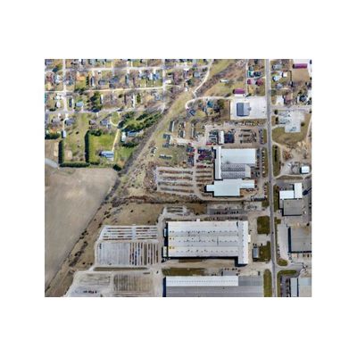
Orthomosaic Mapping Services
Orthomosaic maps are created by stitching multiple overlapping drone aerial images, via mapping software, into a single geometrically corrected or "orthorectified" aerial map. Orthomosaic maps provide high-resolution image quality and true-to-scale relative accuracy of the earth`s surface. Orthomosaic maps can also provide a high level of absolute or global accuracy by implementing ground control points.
Topographic Mapping Services
Millions of X.Y.Z data points are generated when a drone collects overlapping aerial images from a typical site. These data points allow for the creation of topographic maps with contour intervals as dense as 1 ft. Topographic maps created by drone aerial imagery provide the same relative and absolute accuracy as orthomosaic maps.
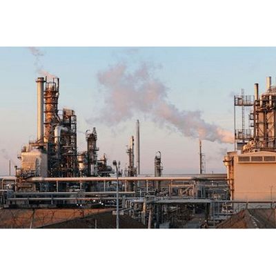
Commercial and Industrial Inspections Services
Orthomosaic maps are created by stitching multiple overlapping drone aerial images, via mapping software, into a single geometrically corrected or “orthorectified” aerial map. Orthomosaic maps provide high-resolution image quality and true-to-scale relative accuracy of the earth’s surface. Orthomosaic maps can also provide a high level of absolute or global accuracy by implementing ground control points.