

GecoSistema Srl
- Home
- Companies
- GecoSistema Srl
- Products
- Model RISK-GIS - A Gis Tool for Mapping ...
Model RISK-GIS -A Gis Tool for Mapping Human Health Risk Related To Industrial Emissions
FromGecoSistema Srl
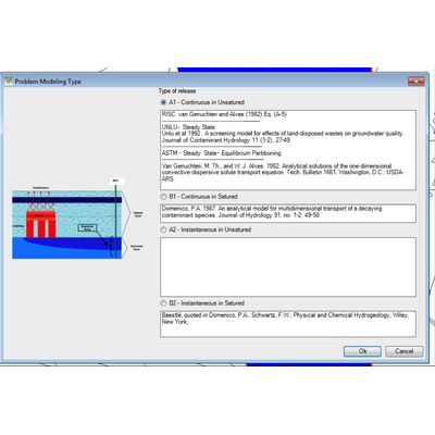
RISK-GIS is a GIS-DSS, developed as extension of ARCMap ESRI GIS software for mapping the fate and transport, the assessment of risk and exposure to toxic chemicals released into the environment from anthropogenic sources (continuous or accidental) or related to contaminated sites. RISK-GIS allows an experienced user to proceed in several stages involving the HHRA (Human Health Risk Assessment) quantification through the use of fate and transport models of the of pollutants in different environmental media (ASTM/RBCA Tier II models, MODFLOW, MT3D, HSSM, Vleach, ISC3, CALPUFF), characterization of the receptors exposed to and use of specific models (RBCA, HWIR, CALTOX,) for the estimation of exposure and risk. RISK-GIS is suitable for both assessments of the risk to human health posed by contamination of air, soil and groundwater at industrial sites.
Most popular related searches
human health risk
health risk assessment
chemical of concern
risk assessment
tier II
contaminated land
contaminated site
chemical release
toxic chemical
industrial emissions
Potential mains users of RISK-GIS are:
- contaminated land reclamation project managers
- environmental and human health risk assessors
- industrial area managers dealing with human exposure