

Mapping and Monitoring Services
One of the key areas of GAF service provision is mapping and monitoring tasks carried out entirely or partially using earth observation and/or other types of geospatial data. The information extraction and derivation technologies used range from visual interpretation of pre-processed and spectrally/texturally enhanced raster information using ancillary data layers and calibration information to automated or semi-automated feature extraction workflows. A particular strength of GAF is the wide thematic data extraction and derivation experience, which includes the obtaining of data for applications in the fields of natural resources, infrastructure, land cover and land use, as well as all types of planning relevant information. GAF mapping projects typically cover large areas and thereby benefit to the maximum from the use of satellite information.
GAF mapping experts possess vast project experience - including a profound understanding of what customers expect. The service quality is outstanding in terms of precision and quality, and places considerable emphasis on consistency and adherence to standards where applicable.
This service segment focuses on the provision of information layers that are usually displayed as topographic maps. The demands here can even go beyond standard topographic mapping requirements, such as in very high resolution feature extraction projects. Customers generally use the resulting products for multi-purpose applications, such as for spatial and infrastructure planning as well as for navigation/location based services and products.
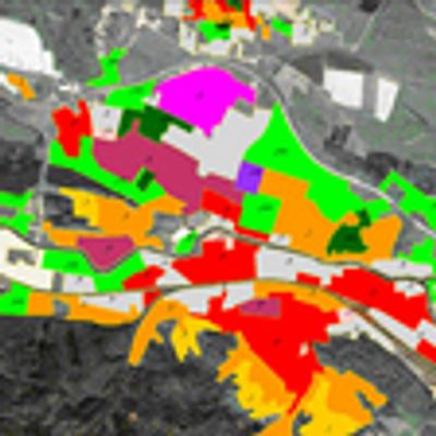
This service segment includes the provision of land suitability and soil maps, geological maps, hydrological resource maps, forestry maps, specific land cover and land use maps and many more types of thematic maps, all of which are mainly used for a specific purpose and are usually tailor-made for individual customers. To the greatest extent possible and when suitable, GAF makes use of agreed or documented thematic standards in this respect, as well as "best practice" work flows.
Monitoring services make use of the unique capacity of geospatial information and earth observation data to enable easy spatial comparison of mapping information over time. It is also the case here that visual and automated processing tools are used, wherever and whenever appropriate, in order to extract the change information required from the data in the time series. Various fields of application utilise monitoring projects to provide accurate details about spatial change patterns as well as statistics.