

Aqua Survey, Inc.
- Home
- Companies
- Aqua Survey, Inc.
- Services
- Sub-Bottom Sonar Surveying Services
Sub-Bottom Sonar Surveying Services
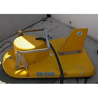
Aqua Survey utilizes Sub-Bottom sonar echoes to detect and map targets and layering within the beds of lakes, streams, rivers, estuaries and oceans. The harder the target or strata, the harder and more resolute the sonar’s echo is to the transducer. Sub-Bottom can be used to three-dimensionally delineate contaminated sediment volumes. This technology can also be used to survey a riverbed for buried utilities prior to advancing drilling or vibracoring equipment into the sub-bottom, thus lowering the probability of making contact with or damaging a utility service.
Most popular related searches
sub-bottom sonar
sub-bottom profiler
sonar
geophysics monitoring
bottom profiler
underground utility
contaminated sediment
sonar survey
pipeline mapping
sonar service
ASI uses sub-bottom profiling to support:
- Bed strata mapping
- Pipeline/tunnel mapping
- Estimating sediment volumes
- Target detection
- Detection of archeological structures
- Underwater utility markout surveying