
- Home
- Companies
- ASI Group Ltd.
- Services
ASI Group Ltd. services
Marine Geophysical Services
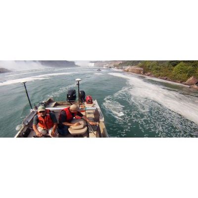
Hydrographic Mapping Surveys
ASI’s hydrographic mapping services provide clients with a thorough underwater investigation of the conditions of rivers, estuaries, channels, lakes, harbour bottom surfaces and submerged infrastructure. A combination of geophysical mapping equipment and the latest charting technology enables us to locate and assess any submerged surface features and targets addressed by our clients. The findings are measured and mapped with precision accuracy in real-time.
Water Current Monitoring and Sediment Data Collection Services
ASI utilizes acoustic Doppler current profilers (ADCPs) to collect water flow data in virtually every type of water body.
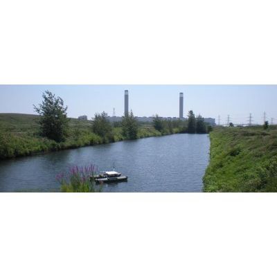
Unmanned Hydrographic Surveys
ASI provides a unique Unmanned Survey Vessel (USV) that can be manually operated remotely by radio link or can operate autonomously using a pre-programmed mission plan with a Differential Global Positioning System (DGPS).
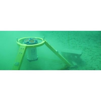
Sonar Profiling and Imaging Surveys
ASI Group provides a wide range of sonar technologies that enable data collection in high flow, highly turbid and hazardous environments. ASI’s Dual-Axis Sonar (DAS) system technology enables collection of critical underwater infrastructure data without the burden of costly downtime.