

Earthfx Incorporated software
Viewlog
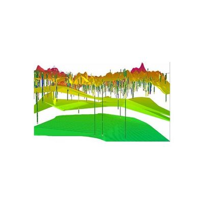
Viewlog 3D GeoExplorer - Three-Dimensional Visualization Software
The 3D GeoExplorer (an add-on module for VIEWLOG GIS and PRO) can be used to create a three-dimensional visualization of your VIEWLOG geologic model. When activated, the 3D GeoExplorer opens as a new window, and can remain open while you continue to edit your basemap and/or cross sections. Gridded data, such as a digital elevation model (DEM), or subsurface layers (e.g., aquifer, aquitard, or bedrock surfaces) can be displayed in 3D. Layers can be set as semi-transparent.
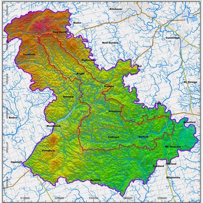
Viewlog - Map Editor Software
The Map Editor includes tools that combine the key features of GIS, CAD and image processing into an integrated tool for geoscientists. Key objects are managed as high-level, 3D ‘geo-objects, with integrated analysis functions.
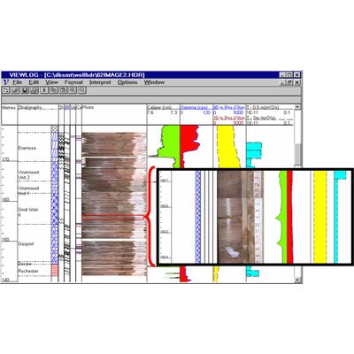
Viewlog - Log Editor Software
The Log Editor includes functions to edit, display and interpret a variety of borehole measurements, such as geological description, core photos, lithology symbols, well construction details and geophysical logs.
GSFLOW - Management Module
The GSFLOW Management Module for VIEWLOG provides a complete set of pre– and post-processing functions for the U.S.G.S. GSFLOW and integrated groundwater flow model. The GSFLOW module is fully integrated with VIEWLOG and it builds on the Well Database, geologic modeling, mapping, cross section and 3D tools within VIEWLOG, adding Time Series analysis of observations and outputs and full transient animations.
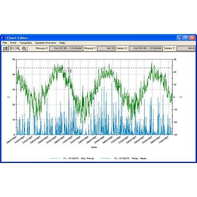
Earthfx - Data Retrieval Software
A sophisticated query builder helps find and filter temporal data before presentation.