
- Home
- Companies
- GeoView, Inc.
- Services
GeoView, Inc. services
Marine Based Services
Mapping the Seafloor Services
The two main techniques used to map the seafloor are bathymetric profiling and side-scan sonar.
Scanning Beneath the Seafloor Services
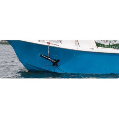
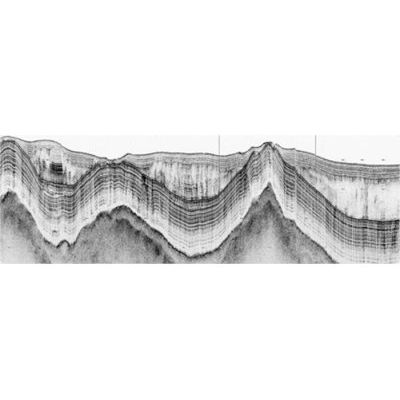
GeoView employs three methods for studying the geologic strata and objects buried beneath the seafloor. These include Sub-bottom profiling, Marine Seismic Refraction and Marine Seismic Reflection. GeoView owns and operates an Edgetech sub-bottom profiler. It generates a swept frequency source to produce a high resolution image of the sub-bottom at penetration depths up to 50 meters. It is useful for mapping sediment thickness, karst surveys, conducting scour studies, mapping shallow geologic strata and mapping buried utilities and other submerged structures. The source and receiver are housed in a single towfish, allowing data to be collected even in very shallow water depths. The depth of penetration can be limited by the grain size of the sediment and porosity of the rock. For freshwater sub-bottom profiling, a ground penetrating radar system can also be used.
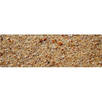
Sediment Thickness Studies Services
Sediment thickness studies are typically performed to: Identify and quantify offshore borrow pits, Survey sediment with channels, Pre/Post dredging surveys, Port expansions, Pipeline studies, Sand wave and Scour/Erosion Surveys.