

GISCourse by TYC GIS Group training
ArcGIS 10 Courses
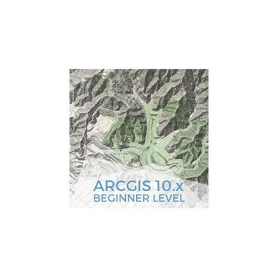
ArcGIS Course, Beginner Level - Online GIS Training
This course will qualify students in ArcGIS Desktop 10.x and in particular in ArcMap, ArcCatalog and ArcTool Box. The training material will be focused on vector and raster data models, how to handle them and store them in a geodatabase, their relationship within a geodatabase and on how to develop final cartographic products and maps. Students will be trained in the creation and editing of vector and raster data, in the usage of basic greoprocessing tools available in ArcGIS 10.x, in the management of a geodatabase, also providing valuable information in the development of high-quality mapping products.
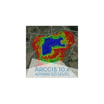
ArcGIS Course, Advanced Level - Online GIS Training
This course will qualify students in ArcGIS Desktop 10.x and in particular in the usage of ArcMap, ArcCatalog and ArcTool Box. The training material will be focused on vector and raster data models, how to handle them and store them in a geodatabase, their relationship with geodatabases, 2D and 3D data visualization, topological corrections and on how to develop final cartographic products and maps. Students will be trained in the creation and editing of vector and raster data, in the usage of advanced greoprocessing tools, in the management of geodatabases and their relationship with vector and raster data, in the development of high-quality mapping products.
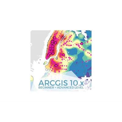
ArcGIS Course, From Beginner to Advanced Level - Online GIS Training
This course will qualify students in ArcGIS Desktop 10.x and in particular in ArcMap, ArcCatalog and ArcTool Box, starting from the basic level focused on vector and raster data models, how to handle them and store them in a geodatabase, their relationship within a geodatabase and on how to develop final cartographic products and maps, to complex spatial analysis using Spatial Analyst and 3D Analyst tools, topology corrections using a geodatabase, programming with ModelBuilder and Network Analyst extension.
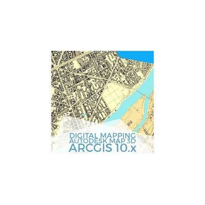
Digital Mapping with ArcGIS 10.x and Autocad Map 3D - Online GIS Training
Apart from learning how to use ArcGIS 10.x and Autocad Map 3D separately, the course will concentrate on data migration possibilities between these two software. Students will learn to select the most adequate solution in their GIS projects, depending on the nature of their data and project needs.