

GISCourse by TYC GIS Group training
ArcGIS PRO Courses

ArcGIS Pro Course, Beginner Level - Online GIS Training
This course will provide a basic introduction in ArcGIS PRO, the new ArcGIS Desktop release. The training material will be focused on vector and raster data models, how to handle them and store them in a geodatabase, their relationship within a geodatabase and on how to develop final cartographic products and maps. Students will be trained in the creation and editing of vector and raster data, in the usage of basic greoprocessing tools available in ArcGIS PRO, in the management of a geodatabase and in the development of basic mapping products.
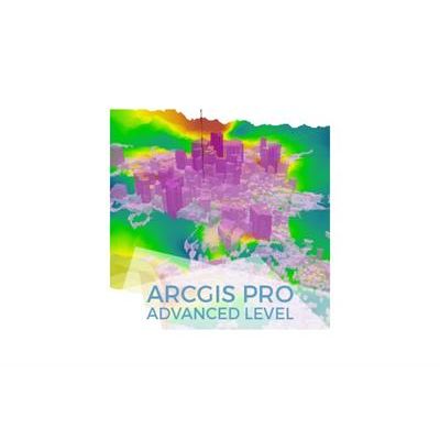
ArcGIS Pro Course, Advanced Level - Online GIS Training
This course will qualify students in the advanced functionalities of ArcGIS PRO. The training material will be focused on vector and raster data models, on how to handle them and store them in a geodatabase, their relationship with geodatabases, 2D and 3D data visualization, topological corrections and on how to develop final cartographic products and maps. Students will be trained in the creation and editing of vector and raster data, in the usage of advanced greoprocessing tools, in the management of a geodatabase, in their relationship with vector and raster data and in the development of high-quality mapping products.

ArcGIS Pro Online Course, From Beginner to Advanced - Online GIS Training
This course will qualify students in ArcGIS PRO, starting from a basic level operations using vector and raster data models, how to handle them in a geodatabase and creating basic maps/layouts, to complex spatial analysis using Spatial analyst and 3D Analyst tools, topological corections of layers in a geodatabase, automation of tasks using programming and ModelBuilder, Network Analysis, etc. Students will be trained in the creation and editing of vector and raster data, in the usage of basic greoprocessing tools available in ArcGIS PRO, in the management and possible relations between layers within a geodatabase, in the use of topology in order to correct layers, in advanced multi-criteria analysis, as well as in network analysis like finding the optimal routes and best times analysis. The course also provide valuable information in the development of high-quality mapping products.