

- Home
- Companies
- Guideline Geo
- Software
Guideline Geo software
ABEM - Resistivity and Induced Polarization Solutions
Resistivity/IP surveying is a versatile geophysical method that is suitable for a broad range of applications. ABEM Resistivity/IP solutions come prefigured for common applications ranging from groundwater and mineral exploration to infrastructure site investigations, and are customizable – using high-end multichannel 3D time-lapse monitoring or cost effective VES measurements – to fit most other applications.
MALÅ - GroundVision Software
MALÅ GrondVisionTM software is a data acquisition software designed by MALÅ Geoscience dedicated to MALÅ GPR Systems in single or multi-channel mode. The software is available as MALÅ GroundVision and MALÅ GroundVision 2.
MALÅ - Roadway Mapper Software
The MALÅ Roadway Mapper software allows the user to define points of reference, based on GPS positioning, for selecting sections of road that are of specific interest for post-processing based on data already collected with the MALÅ ProEx RoadCart system.
ABEM - Seismic Solutions
The seismic method utilizes the reflection or refraction of sound waves off interfaces to determine the geological substructure and is one of the oldest geophysical methods, dating back to the 1800s. Beginning in the 1920s, ABEM has pioneered the development of seismographs for near-surface geophysical surveys from analogy to digital. The current ABEM Terraloc line of seismographs is the most advanced combination of hardware and software in its class, achieving superior data quality over the widest range of applications possible. Though ABEM seismic solutions are used for a wide range of near-surface geophysical surveys, perhaps the most common application is in infrastructure projects where the mechanical properties of the subsurface is investigated, e.g. investigating depth to bedrock.
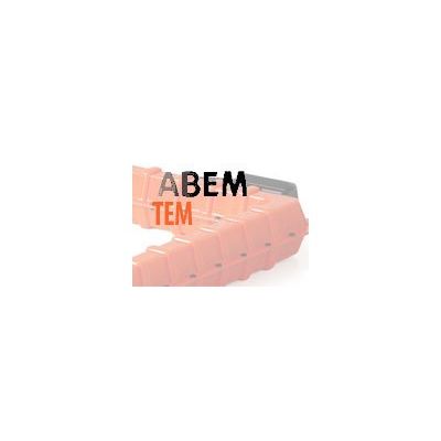
ABEM - TEM Solutions
The transient electromagnetic (TEM or time domain electromagnetic TDEM) method is extremely effective in determining electrical conductivity of the subsurface at depths from a few meters down to several hundred meters. Since electrical conductivity of soil correlates strongly with soil properties, TEM is a powerful tool for mapping of conductive layers and is commonly used for mapping sand and gravel aquifers, clay layers restricting groundwater flow, conductive leachate in groundwater, saltwater intrusion, and depth to bedrock.
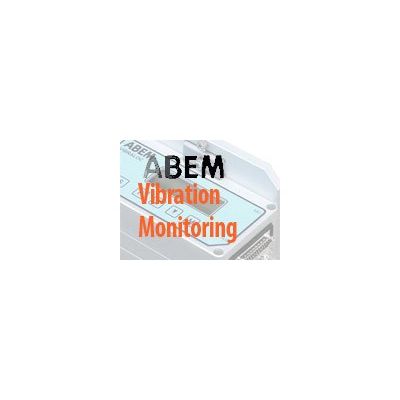
ABEM - Vibration Monitoring Solutions
Ground-borne vibration can be generated by a number of sources, including road and railways, construction activities such as piling, blasting and tunneling. The parameter normally used to assess the ground vibration is the peak particle velocity (ppv) expressed in millimeters per second mm/s). Vibration can cause varying degrees of damage in buildings and affect vibration-sensitive machinery or equipment. Vibration may also cause disturbance or annoyance for humans, and at elevated levels, it can restrict a person’s ability to work. ABEM vibration monitoring solutions come prefigured for common applications and are optimized for monitoring of blasting and construction work.
MALÅ - Model Object Mapper 2018 - Utility Mapping Software
Object Mapper is an easy-to-use visualization utility mapping software for processing, analysis, and interpretation of utility detection GPR data acquired by MALÅ systems – including MALÅ Easy Locator Pro WideRange HDR.