
Simutech software
Bondgraph Analysis Program Synthesis (BAPS)
BAPS is a program system for presenting and analysing bondgraphs. BAPS analyses linear and nonlinear bondgraphs and assigns causalities. BAPS converts a BAPS-program into a simulation model, e.g. for SIMUL R. BAPSDRAW allows for the graphical creation of BAPS-programs.
Bapsdraw - Graphical Modelling Tool for Bondgraph Systems
BAPSDRAW is a graphical modelling tool for bondgraph systems. BAPSDRAW allows for the structured and hierarchical description of bondgraph models. BAPSDRAW is used for creating animation pictures based on SIMUL R. By positioning predefined element symbols out of a library of graphical symbols the basic frame of a linear or a nonlinear bondgraph is drawn on the screen. The objects are linked by lines, which describe the bonds or signals.
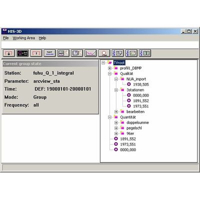
Simutech - Model HIS-3D - Environmental Data Management Software
Measurement data and station information: Recording, administrating, analyzing. The environmental data management system, the Hydrographical Information System, the database system for administrating and evaluating environmental data.
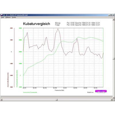
HISprof - Profile-Editing-Module
In HIS`3D® all values are stored with coordinates - a full localization of data values! Coordinates are used in many applications: sediments, measurement in different river depths, sending hydrological values to GIS-models, etc. HISprof offers a full-featured desktop for editing and administrating profiles. HISprof deals with all kinds of profiles: length and cross profiles; river profiles, valleys or electricity line layouts.
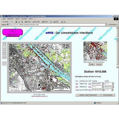
eHIS InterStore - e-commerce Plattform
eHIS InterStore is the e-commerce plattform for selling and presenting your data in the internet and intranet. You input the data values - eHIS InterStore creates a database with all necessary information for your customers. The customer chooses the measurement points in a map and looks at preview pictures, using his web browser. He orders the needed data as pictures, tables or defined evaluations. After checking the credit card information, the customer receives his data files automatically - and you get the money. eHIS InterStore is as well very useful for presenting and distributing data in an intranet.
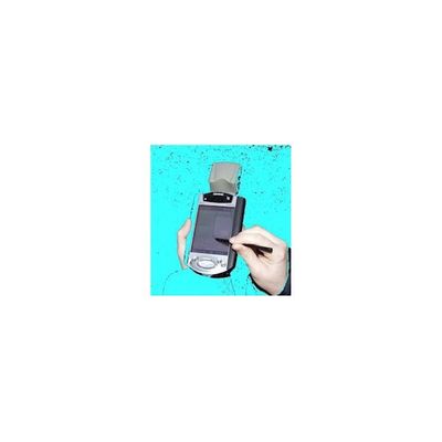
pocket eHIS - Environmental and Geodetic Data Software
pocket eHIS offers the possibility to access environmental and geodetic data from a central HIS3D database in the field - e.g. using cellular connections via GSM or GPRS. pocket eHIS writeable allows for data acquisition on site. Collected data is then transmitted to the central database.