

Geophysical Survey Systems, Inc., (GSSI) products
Utility
GSSI - Model UtilityScan Pro - Utility Mapping and Locating GPR System
With UtilityScan Pro, users can quickly identify and mark the position and depth of metallic and non-metallic objects; including utilities such as gas, communications and sewer lines as well as underground storage tanks and PVC pipes. Based on the SIR 4000 controller, the UtilityScan Pro provides the GPR professional with solutions to any underground locating situation.
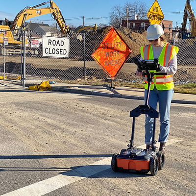
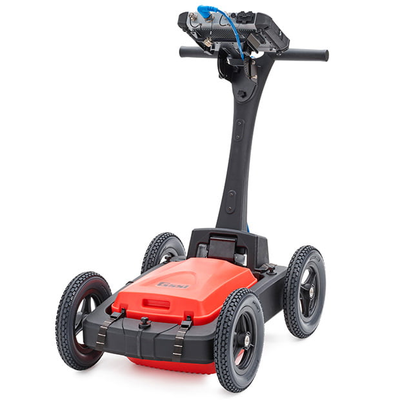
GSSI - Model UtilityScan - GPR System for Utility Locating
Locating and marking underground utilities in real-time in the field has been a powerful application of ground penetrating radar (GPR) for many years. A knowledgeable utility locator with a GPR system as part of their toolbox is able to accurately identify buried utilities. UtilityScan is built for the utility locating professional to accelerate workflow from target detection to reporting.
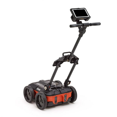
GSSI - Model UtilityScan DF - Locate and Map Underground Utilities System
UtilityScan DF incorporates our innovative dual-frequency digital antenna (300 and 800 MHz) and an easy-to-use touchscreen interface to view shallow and deep targets simultaneously in a single scan.