

Advanced Geophysical Operations and Services Inc. (AGCOS) software
Zond Software - Electromagnetic Methods
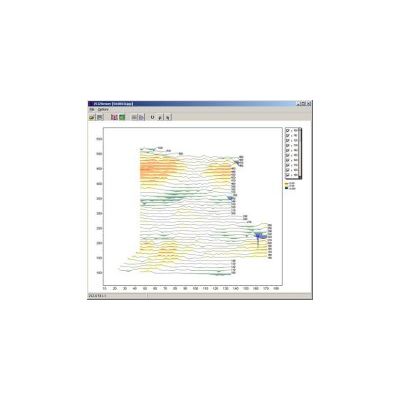
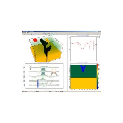
Model ZCGViewer - Electroprofiling Data (EP) Software
Calculation and visualization of electric resistivity profiling graphic maps and apparent resistivity maps (for different arrays). ZCGViewer is designed to work with electroprofiling data (EP). Any geometrical array and wide frequency band could be used during field survey and will be recognized by software.

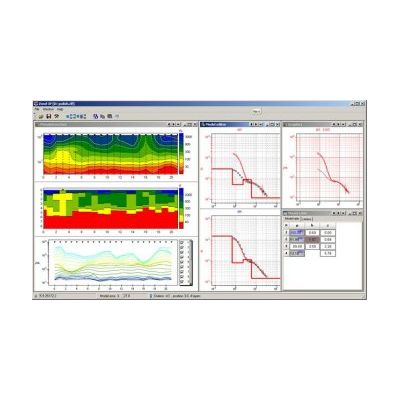
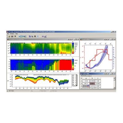
Model ZondIP1D - VES and VES-IP 1D Data Interpretation Software
ZondIP1D is designed for 1D inversion of resistivity and induced polarization (IP) data obtained by methods of vertical electrical sounding (VES or VES-IP). ZondIP1D is based on concept of interpretation along the profile, therefore every site taken into account as part of interpretation with regards to section structure. There are options to use different inversion algorithms, as well as analysis of the results of inversion. Convenient management system allows to choose from several equivalent solutions one, which is on good agreement with other geological and geophysical information.
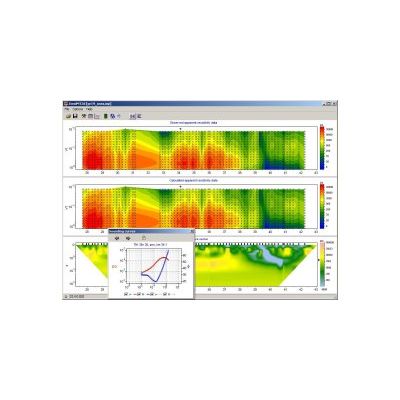
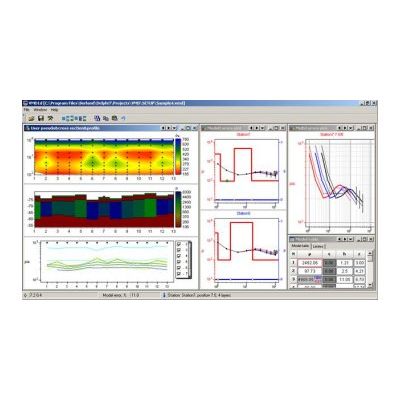
Model ZondHED1D - VES 1D Data Interpretation with Induction Effect Calculation Software
ZondHED1D is designed for resistivity and IP 1D profile interpretation with induction effect calculation. The program is oriented for sounding techniques which use alternating current (AC). It could be non-grounded electrical lines, etc. ZondHED1D calculates and takes into account induction effect, which is greater the higher the frequency, larger array and higher conductivity of the medium. Cole-Cole formula is used to calculate IP effect. As input, amplitude data only or amplitude plus phase could be used. Many options are similar to ZondIP1D program.
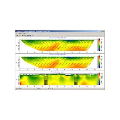
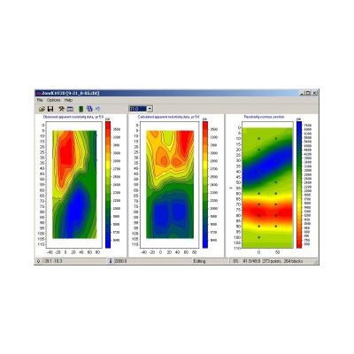
Model ZondRes2D - Resistivity + IP 2D Data Interpretation Software (land, marine, borehole)
ZondRes2D is designed for 2D resistivity and IP, typical VES (DES), as well as electrotomography data interpretation. The program provides 2.5D modeling and data inversion. 2.5D means that geological structure is 2D, but the source field is 3D. Land, marine and borehole versions of the program are available. ZondRes2D includes VES, DES, electrotomography modeling, data processing and analysis, as well as data inversion. All possible variants of receiving and source electrode positions are used. Such approach improves reliability of inversion. ZondRes2D uses in own simple and simply to understand data format, but main known formats such as Res2Dinv, ABEM, Sens2dInv, etc. could be used as well.
Model ZondRes2Dp - Resistivity + IP 2D Data Interpretation Software in Polygonal Way (land, borehole)
ZondRes2Dp is designed for 2D Resistivity and IP data interpretation in land and borehole version. The tasks of the program are similar to the ZondRes2D, but this program uses polygonal variant for describing geolectric medium. This approach gives some advantages for data inversion above some sort of a section. Using this approach, 2D section of any geoelectrical body is described with closed polygon.
Model ZondRes3D - Resistivity + IP 3D Data Interpretation Software (land, marine, borehole)
ZondRes3D is designed for 3D Resistivity, IP and especially electrotomography data interpretation. Program requirements include fast and powerful PC due to large volumes of data. ZondRes3D has same main features as ZondRes2d inversions.
Model ZondCHT - Resistivity, IP and EM logging 2D Data Interpretation Software
ZondCHT is designed for 2D inversion of cross borehole electrotomography, Resistivity and IP electric logging.
Model ZondMT1D - MT (AMT, RMT) 1D Data Interpretation Software
ZondMT1D is designed for 1D interpretation of profile data of magnetotelluric sounding in frequency range of MT, AMT and RMT. Convenient interface and wide possibilities for data visualization make working with the program efficient and productive. There is also a possibility to choose from the several equivalent solutions the best one, which satisfies the apriori data. ZondMT1D uses simple and understandable data format, which easily permits the use of apriori information as a topography. Well known data formats (Mackie, Rebocc) are supported as well.
Model ZondMT2D - MT (AMT, RMT) 2D Data Interpretation Software
ZondMT2D is designed as the main tool for 2-D magnetotelluric data inversion and covers wide frequency band of the data - MT, AMT and RMT. This feature gives the possibility to study resistivity distribution from first meters to dozens of kilometers or even several hundred of kilometers. ZondMT2D provides modelling, sensitivity analysis as well as inversion of the field data.
Model ZondVMD1d - FDEM Sounding with Vertical Magnetic Source Dipole 1D Data Interpretation Software
ZondVMD1d is designed for interpretation of the results of field measurement along the profiles by method of frequency-distance electroprospecting soundings with vertical magnetic dipole (in frequency range 1-500kHz).